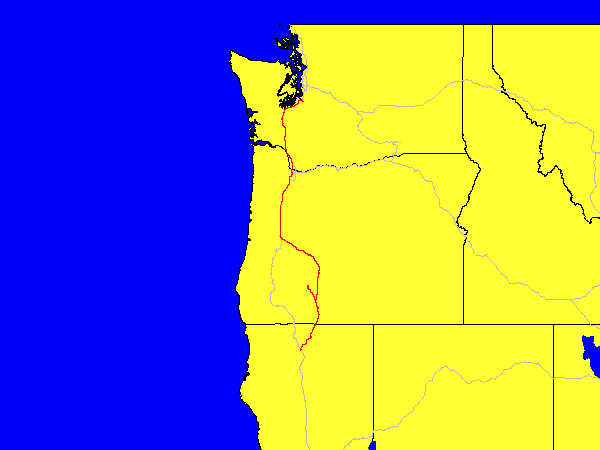
A fairly short day, just driving from Washington to Weed, California. What is in Weed? Nothing, it is just a random place to stop since I can't drive down to Sequoia National Park in one day (it is still another 500 or so miles south of here). On the way here, I stoped at Salt Creek Falls, which was pretty, and Crater Lake, which was still mostly closed because of snow. I did get a few pictures though.
General Information:
| Date: | Monday May 31th, 2004 (Day 10 of trip) |
| Location: | Puyallup, WA to Weed, CA |
| Sunrise: | 5:17am (Puyallup) |
| Sunset: | 8:36pm (Weed) |
| Moon phase: | Waxing gibbous, 92% visible |
| Timezone: | Pacific |
| Miles driven: | 597 miles |
| Driving time: | 11 hours (including stops) |
| Peak Altitude: | 7088 feet (2160 meters) |
Pictures:
Not a whole lot of pictures are available Here.