Today I drove around Colorado for a bit, and then through Rocky Mountain National Park. Unfortunately, there were thunderstorms when I was in the park, which cut down on the photo opportunities. For some reason it seemed like a bad idea to be standing around on a mountain top with lightning strikes going off around you, holding a metal camera to my face. Okay, that really didn't stop me much, it was the dang clouds that was the problem. But it was neat to be driving through the clouds.
General Information:
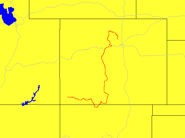
| Date: | Wednesday June 9th, 2004 (Day 19 of trip) |
| Location: | Driving from Cortez, CO to Boulder, CO |
| Sunrise: | 5:53am (Cortez, CO) |
| Sunset: | 8:29pm (Boulder, CO) |
| Moon phase: | Last quarter |
| Timezone: | Eastern, into Central |
| Miles driven: | 600 miles |
| Driving time: | 12 hours (including stops) |
| Peak Altitude: | 12,193 feet |
Pictures:
Pictures of clouds are available Here.