My first full day of touristy stuff, without needing to drive to someplace in a different time zone. This is the "Black Hills" area, so I hit a few of the Black Hills parks. Started off by going to Mt. Rushmore, but that really didn't work out, since it was so foggy that I couldn't even see the mountain. Not a good start. I then drove off to see the Crazy Horse monument that is being worked on, and the weather improved drastically by the time I got there. After Crazy Horse, it was off to Wind Cave, which was nifty, and then a nice drive through Custer State Park. In Custer I realized a problem with my trip plans: I hate heights, but I have alot of mountain driving. At times I was up 6400 feet, driving on a narrow road, with a distinct lack of guard rails. But, I didn't plummet to my death anywhere, and I got some pretty pictures, so it all worked out. After Custer, I went back to Mt. Rushmore, which I could actually see this time, got some pics there, and then went back to the hotel. Overall, a pretty good day, and outside of the initial Rushmore visit, the weather has been great, a little chilly, but the skies are all nice and clear.
General Information:
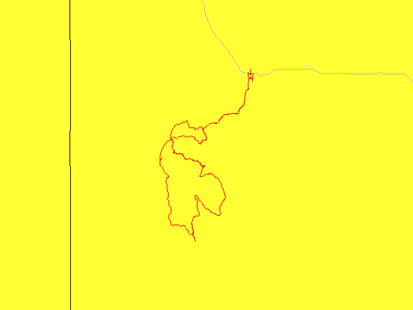
| Date: | Monday May 24rd, 2004 (Day 3 of trip) |
| Location: | Rapid City, SD |
| Sunrise: | 5:17am |
| Sunset: | 8:23pm |
| Moon phase: | Waxing crescent, 34% visible |
| Timezone: | Mountain |
| Miles driven: | 184 miles |
| Driving time: | 11.5 hours (including stops) |
| Peak Altitude: | 6368 feet (1941 meters) |
Pictures:
Alot of images, available Here. It's a good thing I have broadband at this hotel.