It is Washington, so it was rainy. Pretty to look at, bad for taking pictures. This day was unique for the trip, in that it is the only day where I actually met up with people who I know in the area, who could show me the nifty stuff to see that is unique to the region. The area of exploring today was Mt. St. Helens, which while it was not visible due to the rain, we did go to see Ape Cave, which is a lava tube cave, and also Lava Canyon, which is a canyon with waterfall, formed by an eruption.
General Information:
| Date: | Saturday May 29th, 2004 (Day 8 of trip) |
| Location: | Puyallup, WA |
| Sunrise: | 5:19am |
| Sunset: | 8:55pm |
| Moon phase: | Waxing gibbous, 75% visible |
| Timezone: | Pacific |
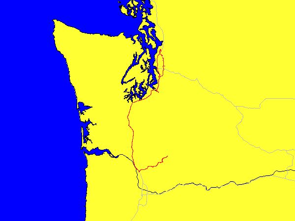
| Miles driven: | 587 miles |
| Driving time: | 17 hours (including long stops) |
| Peak Altitude: | 2925 feet (892 meters) |
Pictures:
Not many, but they are available Here.